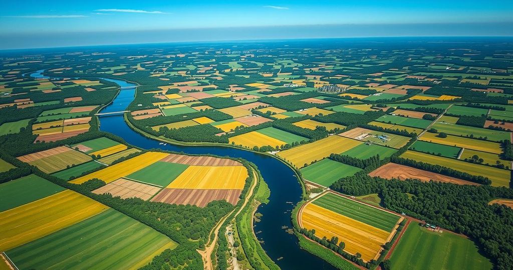
Exploring Waza National Park: A Sentinel-2 Perspective

The Waza National Park in Cameroon is captured by the Copernicus Sentinel-2 mission. This UNESCO-listed biosphere reserve spans 1,700 sq km and is home to diverse wildlife. The surrounding Logone floodplain is vital for local ecosystems, influenced by seasonal flooding, which supports agriculture and fishing for approximately 100,000 residents. Images show the landscape post-flooding and highlight important waterways such as the Chari River.
The Copernicus Sentinel-2 mission captures extraordinary imagery of Waza National Park, located in northern Cameroon. The park extends across 1,700 square kilometers, bordered by Chad to the east and Nigeria to the west, providing essential habitat for diverse wildlife such as lions, elephants, giraffes, and various bird species. Declared a UNESCO World Heritage biosphere reserve in 1979, it is visually identified as the green area in the image.
Waza National Park’s proximity to the town of Waza is notable; this small, yellowish area is surrounded by green land. The surrounding region, known as the Logone floodplain, is characterized by seasonal flooding from the Logone River, a key waterway delineating the Cameroon-Chad boundary. The river appears as a winding brown line in the image, significantly influencing local ecosystems.
The local ecosystem’s dynamics are driven by the alternating dry and wet seasons. During the rainy season from mid-May to mid-October, the area transforms into a temporary wetland, promoting the growth of grasses and reeds. Approximately 100,000 residents depend on this cyclical flooding for fishing, agriculture, and livestock grazing, with agricultural fields prominently visible in the imagery, especially in the lower left region near the Logone River.
Captured in November 2024, this image displays the aftermath of receding floodwaters, which leave the landscape lush and fertile. Signs of the forthcoming dry season are evident; while the park maintains its natural vegetation, adjacent areas show signs of agricultural activities, transforming into post-harvest stubble or fallow fields in various brown tones.
Lastly, the image highlights the Chari River, a major tributary of Lake Chad, appearing green as it meets the Logone River to the north. The capital of Chad, N’Djamena, is positioned at the confluence point, identifiable as a large grey expanse at the top of the image.
The imagery from the Copernicus Sentinel-2 mission reveals vital ecological and geographic details about Waza National Park and its surrounding areas. The park’s diverse wildlife and the dynamics of the nearby Logone floodplain illustrate the interdependence of local communities and the environment. Understanding these patterns, especially the impact of seasonal flooding, is crucial for sustainable agriculture and conservation efforts in the region.
Original Source: www.esa.int


