Cyclone Season: An Overview of Australia’s Weather Challenges
The current cyclone season has seen multiple significant cyclones impact Australia, including Severe Tropical Cyclone Sean and Cyclone Alfred. Cyclones require warm ocean temperatures and low pressure to form, typically lasting about a week. They are named from a rotating list by the Bureau of Meteorology. Cyclones are categorized from 1 to 5 based on their strength, with preparedness being crucial for safety in affected areas.
This cyclone season has seen a surge in significant weather events across Australia. Notably, Severe Tropical Cyclone Sean wreaked havoc in January, setting records for rainfall and winds along the Pilbara coast. February brought Severe Tropical Cyclone Zelia, which led to erratic weather in northern Western Australia. March wasn’t any calmer, with Tropical Cyclone Alfred causing damage in both Queensland and New South Wales. Then, in April, Ex-Tropical Cyclone Errol, once classified as a Category 4, crossed the Kimberley.
Australia typically sees around 11 tropical cyclones each year, with about four of those impacting land. These storms usually occur from November to April, predominantly developing north of Exmouth, across the Top End, and north of Brisbane. Though most common in these regions, cyclones can extend further south as well. In the southern hemisphere, cyclones rotate clockwise, contrasting with the anti-clockwise rotation seen in the northern hemisphere’s typhoons and hurricanes.
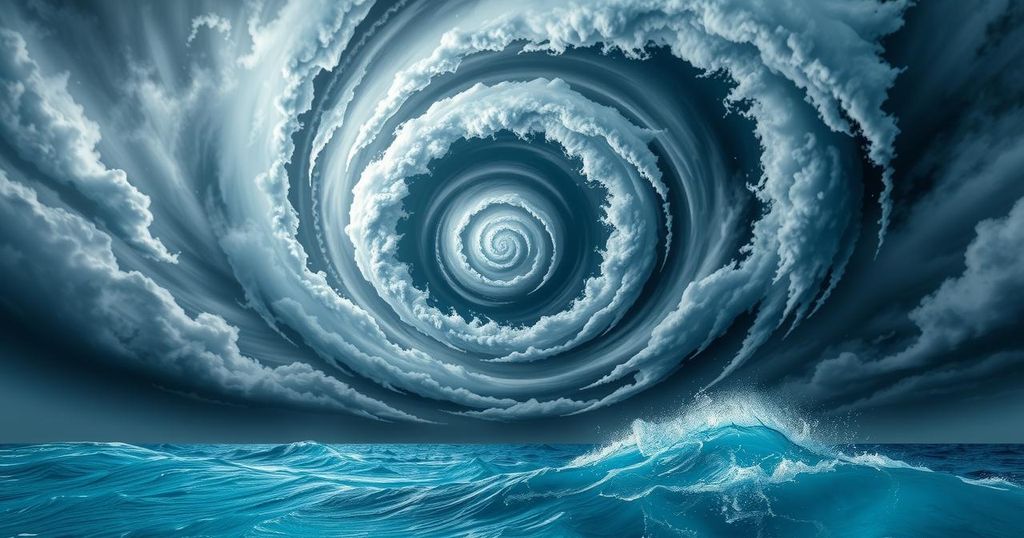
For cyclones to form, a couple of specific conditions must be met. Ocean temperatures need to be around 26.5°C or warmer, which is why these storms predominantly spawn in tropical regions. When warm water evaporates, it creates clouds. If the air pressure drops, these clouds begin to swirl. Continuous humidity is paramount as it fuels the cyclone’s energy and speed. In terms of wind speed, a cyclone must achieve at least 119km/h to earn the title. The cyclone’s eye, often around 40km wide, features calm winds and clear skies as cooler air taps down at the center.
As cyclones churn over the ocean, they produce dangerous swells and surges which can wreak havoc on coastal communities and vessels. However, once a cyclone moves inland or encounters cooler waters, it usually loses energy and dissipates. Generally, cyclones won’t last more than a week.
The naming of cyclones is handled by the Bureau of Meteorology. They maintain a rotating list that alternates male and female names, progressing alphabetically. Once a cyclone gains notoriety for being particularly severe, like Tracy, its name is retired to prevent future confusion.
Cyclones are classified into categories based on strength and potential impact, with Category 1 being the weakest and Category 5 the strongest. A Category 1 cyclone can generate winds up to 125km/h and ocean swells of 1.6 meters, wreaking damage on trees and crops. In contrast, a Category 5 cyclone, with wind speeds surpassing 280km/h and swells over 5.5 meters, can obliterate buildings.
If you live in a cyclone-prone area, having a disaster plan is crucial. It is advisable to secure windows, stash loose debris, and prepare to evacuate or take shelter according to emergency advisories.
This year’s cyclone season has been particularly intense with multiple powerful storms affecting various regions. With conditions suitable for cyclone formation, understanding their classification and impacts is key for safety. Residents in affected areas should stay informed and ready to act during these weather events, as cyclones pose significant risks to life and property.
Original Source: particle.scitech.org.au


