Heavy Snow Expected This Weekend in Glacier Park
Montana saw warm spring weather today with clear skies. However, a moist southwest flow is expected to bring thunderstorms tomorrow, transitioning into colder temperatures for the weekend as a trough of low pressure approaches. Heavy snow is forecasted for Glacier National Park, prompting a winter storm watch.
Montana – This Weekend’s Weather Outlook Locals in Montana are gearing up for a significant shift in weather conditions. Today, temperatures rose into the pleasant mid 70s to 80s, with generally clear skies across the state. However, the northeast corner saw some thunderstorms near the Canadian border. Winds have been relatively mild, blowing at 5 to 15 mph and gusting to 30 mph in places like Jordan. All in all, it’s been a lovely spring day attributed to high pressure keeping the weather calm.
But this weekend’s forecast is looking stormy. Starting tomorrow, a moist southwest flow will sweep into Montana, bringing the likelihood of afternoon thunderstorms, especially in the southwest parts of the state. Some of these storms might pack quite a punch, so stay alert. Then on Friday, the entire state could see showers and perhaps some stronger storms brewing.
To complicate matters further, a trough of low pressure forming near Seattle is expected to approach Montana, bringing a notable temperature drop. Saturday will be especially brisk, particularly for western Montana, while Sunday will feel cooler across the state. For those planning to visit Glacier National Park, heavy snowfall is expected—take note!
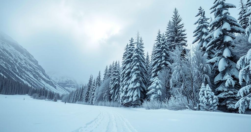
The National Weather Service has issued a winter storm watch for Glacier National Park from Saturday afternoon through Sunday morning. The park could see upwards of a foot of snow at elevations over 6,000 feet, including regions like Logan Pass, while lower elevations around 4,000 feet may receive up to four inches. Additionally, heavy rainfall is anticipated in northwest Montana, impacting Flathead and Lincoln Counties with two to four inches of rain expected.
Tonight’s temperatures are set to dip into the upper 40s and 50s, which is quite mild. Tomorrow? Expect highs climbing back into the steamy mid 80s to 90s, before it all changes course. By Sunday, highs will plummet to the more moderate 50s and 60s—a real change in scenery! Keeping an eye on the forecast is essential, especially for outdoor plans this weekend.
In summary, Montana is about to experience a weather rollercoaster with warm temperatures today followed by thunderstorms and significant cooling over the weekend. Glacier Park visitors should prepare for hazardous snow conditions, with heavy snowfall forecast. A winter storm watch is already in effect, urging caution as the weather shifts dramatically. The rollercoaster of conditions underscores the unpredictable nature of spring in Montana.
Original Source: www.montanarightnow.com


