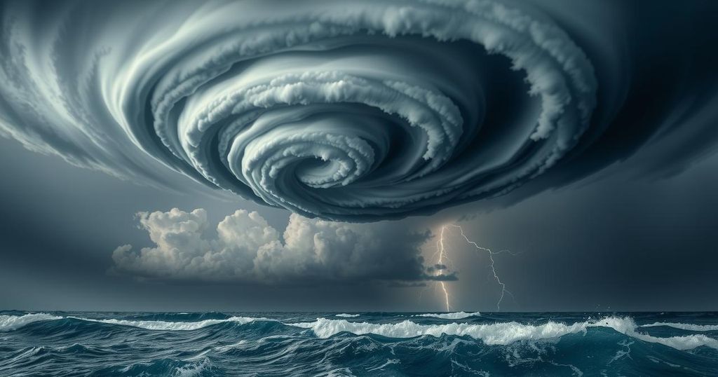
Tropical Cyclone Zelia: What Western Australia Can Expect

Tropical Cyclone Zelia is expected to make landfall on Western Australia’s northwest coast on Friday evening, bringing dangerous sustained winds of up to 205 km/h and potentially gusts up to 290 km/h. The cyclone threatens to cause extensive damage in Port Hedland and surrounding areas. Climate change may be heightening the intensity of cyclones, leading to discussions about a potential new Category 6 for severe storms.
Severe Tropical Cyclone Zelia is approaching Western Australia’s northwest coast, with landfall anticipated on Friday evening. Port Hedland, the largest town in the cyclone’s path and a key iron ore export port, is particularly vulnerable. Wind damage is expected to extend to inland areas like Marble Bar, Tom Price, and Paraburdoo, even if they don’t face a direct hit.
The Bureau of Meteorology has projected extremely dangerous sustained winds of around 205 km/h, with potential gusts reaching up to 290 km/h. Such wind speeds pose a serious threat to infrastructure, capable of destroying homes, uprooting trees, and downing power lines. This cyclone has been classified as a Category 5, the highest on the current scale, leading to discussions about the necessity of a potential Category 6 due to climate change.
Globally, tropical cyclones are categorized from 1 to 5 based on their wind speeds and potential damage. Category 1 winds can reach maximum speeds of 88 km/h with minimal damage, while Category 5 cyclones exceed wind speeds of 200 km/h and can cause widespread devastation. The increasing intensity of tropical cyclones is linked to climate change, which may necessitate an additional category to better reflect risk levels.
The link between climate change and heightened cyclone intensity is well-documented, with research indicating that warmer oceans provide additional energy for storms. Cyclone Zelia escalated from a Category 1 to a Category 5 in just over 24 hours, demonstrating this trend. Australia is currently facing unprecedented sea surface temperatures, up to 4-5°C above average along the northwest coast.
The slow forward motion of tropical cyclones exacerbates their impact by prolonging the duration of rain and wind. Zelia’s forward speed is currently only 11 km/h, leading to anticipated heavy rainfall and severe winds affecting the area far longer than typical. Cyclones often bring damaging winds that can vary directionally, compounding destruction over wide areas.
As conditions worsen around Port Hedland, initial winds have already reached 70-100 km/h, but significant deterioration is expected soon. Earlier rainfall has resulted in local flooding and disrupted rail lines, with further heavy rain and storm tide warnings likely leading to coastal flooding. The cyclone will move inland through the weekend, weakening but still posing threats of heavy rain and strong winds to remote mining and Indigenous communities.
For ongoing updates, community members in affected regions can refer to the Bureau of Meteorology’s website and download the Emergency WA app for real-time alerts and warnings.
Tropical Cyclone Zelia poses a significant threat to Western Australia, particularly in terms of extreme wind speeds and potential flooding. Climate change is believed to be intensifying cyclones, leading to discussions about an extra severity category. Residents in the cyclone’s path are advised to stay informed and prepared as Zelia makes landfall and moves inland with considerable strength.
Original Source: theconversation.com


