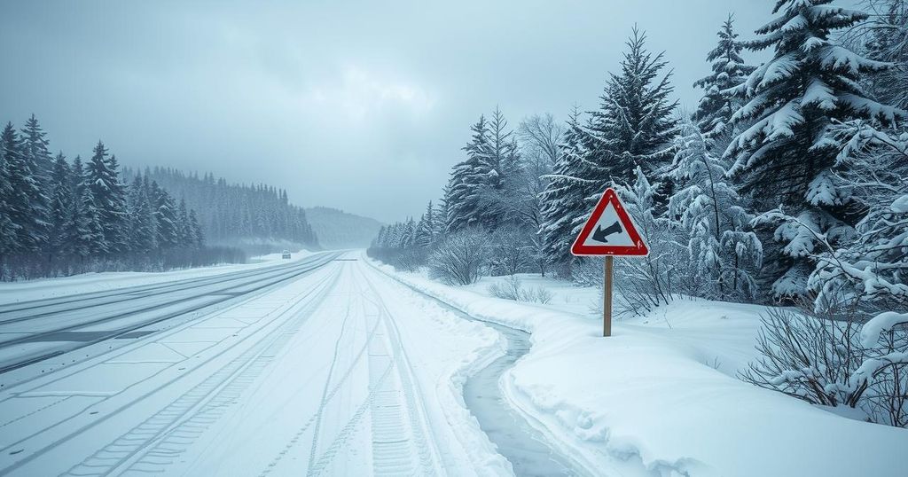
Severe Winter Storm to Disrupt Travel and Safety Across Midwest and Northeast

A significant winter storm will impact the Midwest and Northeast, leading to hazardous travel and power outages. With snow, sleet, and freezing rain expected from Feb. 5-6, the storm threatens to disrupt both roadway and air travel across several states. Major cities are warned of severe ice accumulation and potential impacts on morning commutes.
A significant winter storm is poised to impact travel across the Midwest and Northeast, causing hazardous conditions and increasing the risk of power outages through late this week. As this storm moves from February 5-6, it will produce a mix of snow, sleet, and freezing rain across various states, greatly affecting both roadway and air travel.
Travel disruptions are likely as the storm progresses eastward, particularly from the Midwest to the mid-Atlantic and New England regions. The combination of freezing rain accumulation and strong winds post-storm poses a significant concern for power outages due to ice buildup on trees and power lines.
Snow accumulation is expected to spread from Montana and the Dakotas, moving eastward to parts of the Great Lakes, covering northern Wisconsin, northern Michigan, and the Upper Peninsula. The storm will also extend into southern Canada and parts of New England, with the most substantial snowfall anticipated in mountainous areas.
On the milder side of the storm, rain and thunderstorms will affect areas from the Tennessee Valley to the North Carolina coast, potentially bringing severe weather conditions, including hail and strong wind gusts that could result in downed trees and branches.
As cold air meets moisture across the Midwest and Northeast, areas will experience a mix of precipitation. AccuWeather Meteorologist Brandon Buckingham emphasized the risk of hazardous freezing rain impacting major cities such as Chicago, Detroit, and Cleveland, with significant ice accumulations possible in various regions.
The most severe ice formation is predicted to occur overnight into Thursday morning, which could create dangerous conditions for commuters traveling along busy interstates. In New England, while snowfall will be more concentrated in mountainous areas, some regions along the I-95 corridor may see at least an inch of snow, affecting morning commutes.
Thursday will see temperatures rise, melting any accumulated snow as the storm moves toward the New England coastline. Thunderstorms are anticipated across the Tennessee Valley, potentially resulting in hail and strong winds in parts of Kentucky and Tennessee.
Blustery conditions will follow the storm’s passage, with winds of up to 40 mph potentially causing visibility issues due to blowing snow across roadways. A subsequent storm is forecasted to arrive over the weekend, likely bringing additional snow and ice impacts similar to this week’s storm.
The AccuWeather app offers features to access advanced weather alerts and real-time monitoring to enhance public safety during dangerous conditions. Expert meteorologists constantly analyze weather patterns for effective storm tracking and preparedness.
A winter storm system is forming, characterized by multiple precipitation types, including snow and freezing rain, significantly affecting travel across the central and eastern United States. This storm threatens both transportation infrastructures and power supply, indicating the importance of readiness for disruptions. Understanding precipitation types and expected conditions is crucial for safety and navigation during severe weather events.
The impending winter storm poses serious threats of hazardous travel and power outages across the Midwest and Northeast. With expectations for significant ice and mixed precipitation, affected regions are urged to monitor weather conditions closely. As winds and subsequent storms follow, preparedness will be critical for mitigating impacts on travel and safety.
Original Source: www.accuweather.com


