Simultaneous Cyclone Activity in the Southern Hemisphere: A Rare Meteorological Event
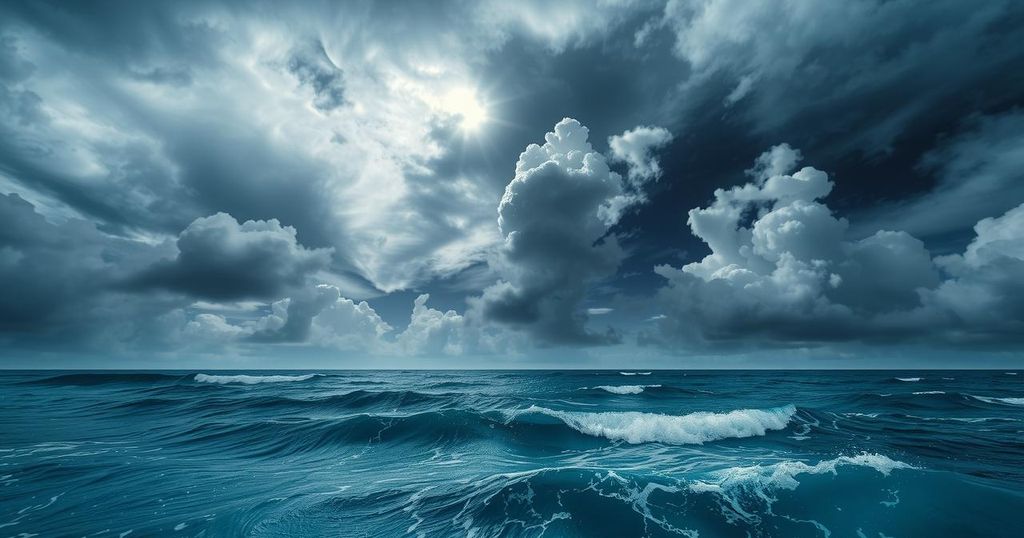
On February 25, 2025, six tropical cyclones were active in the Southern Hemisphere. Three cyclones were in the South Pacific while the others were in the Indian Ocean, marking a rare occurrence last seen in 1989. Factors like warm sea-surface temperatures and weak wind shear, attributed to La Nina, have led to the unusual spike in storm activity this season, which began in November and will end in April.
On February 25, 2025, six tropical cyclones were simultaneously active in the Southern Hemisphere, a rare event last seen in 1989. Three cyclones were situated in the South Pacific Ocean while three others were located in the southern Indian Ocean. This occurrence ties the record for simultaneous storms during the current tropical season, which spans from November to April.
The storms included Tropical Cyclone Honde off Mozambique, Cyclone Garance near Madagascar, Hurricane Bianca west of Australia, Hurricane Alfred northeast of Australia, and cyclones Seru and Rae north of New Zealand. The extensive storm activity has been attributed to favorable conditions such as weak wind shear and elevated sea-surface temperatures resulting from La Nina.
Notably, Cyclone Rae had previously caused damage in Fiji before Honde formed later that same day. Historical records indicate that the last simultaneous presence of three tropical cyclones in the South Pacific was in January 1999 with storms named Dani, Olinda, and Pete. There have been 22 tropical depressions and cyclones in the Southern Hemisphere this season, with Accumulated Cyclone Energy significantly exceeding historical averages since February 12.
Cyclones Honde and Garance are intensifying, with Honde moving southeast off Mozambique expected to impact southern Madagascar, potentially delivering 12-24 inches of rainfall alongside wind gusts of up to 100 mph. In contrast, Cyclone Garance poses a risk for Reunion Island as its intensity increases, with anticipated wind gusts of 150 mph and heavy rain expected on Thursday and Friday, leading to possible flooding and structural damage.
Hurricane Alfred, which developed in the Coral Sea, continues to strengthen as it moves southward while forecast models indicate it may remain east of Australia. However, the outer bands of Alfred might still bring rainfall to southeast Queensland and northeast New South Wales early next week.
This unusual spike in cyclone activity emphasizes the volatile nature of tropical weather patterns and the ongoing influence of La Nina in shaping ocean and atmospheric conditions conducive to such phenomena.
The simultaneous occurrence of six tropical cyclones in the Southern Hemisphere exemplifies a rare meteorological event, influenced by prevailing conditions associated with La Nina. These storms pose significant risks to affected regions, particularly Madagascar, Reunion Island, and parts of Australia. Continuous monitoring and updates are essential to mitigate the impacts of these weather systems as they develop.
Original Source: www.accuweather.com