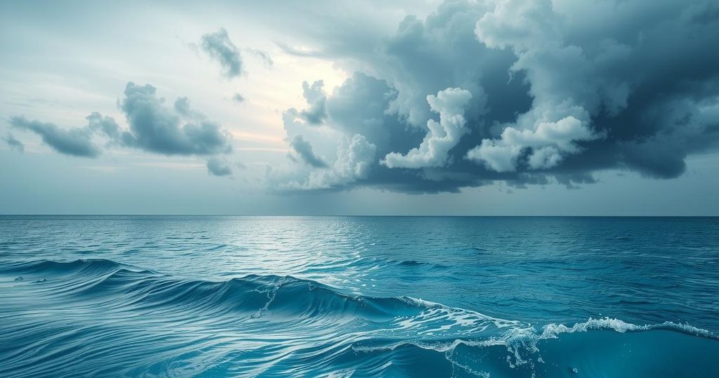
Six Tropical Cyclones Simultaneously Active in Southern Hemisphere
On February 25, 2025, six tropical storms were active simultaneously in the Southern Hemisphere, a rare event last recorded in 1989. The storms included Tropical Cyclone Honde off Mozambique, Cyclone Garance near Madagascar, and Hurricane Alfred northeast of Australia. Contributing factors include weak wind shear and warm sea-surface temperatures related to La Niña, with significant rainfall and wind expected across affected areas.
On February 25, 2025, an unprecedented occurrence was observed in the Southern Hemisphere as six tropical cyclones developed simultaneously in the Indian and Pacific Oceans. This phenomenon ties the record for the most concurrent storms in this region, a situation not seen since 1989. The Southern Hemisphere’s tropical season typically spans from November to April, indicating that these extreme weather patterns arise roughly midway into the season.
Among the storms, Tropical Cyclone Honde was located off the coast of Mozambique, while Cyclone Garance was near Madagascar. Additionally, Hurricane Bianca swirled west of Australia, Hurricane Alfred was northeast of Australia, and Cyclones Seru and Rae were situated north of New Zealand. Such a confluence of storms is notably rare and indicates significant weather anomalies.
Factors contributing to the simultaneous formation of these six cyclones include weak wind shear and elevated sea-surface temperatures, primarily attributed to the ongoing La Niña phenomenon. This atmospheric condition has significantly influenced storm activity, leading to a high Accumulated Cyclone Energy (ACE) valued at 166.3, which is 130% above the historical average as of February 12.
Cyclone Honde is expected to impact southern Madagascar with potential for heavy rainfall of 12-24 inches, possibly peaking at 48 inches in localized areas, alongside wind gusts reaching 100 mph. Meanwhile, Cyclone Garance is forecasted to pass near Reunion Island, with severe weather including gusts up to 150 mph and two feet of rain expected, the strongest winds anticipated to affect offshore areas.
Hurricane Alfred, observed developing in the Coral Sea, is moving southward while intensifying. Although it is projected to remain offshore, outer rain bands may reach southeast Queensland and northeast New South Wales, resulting in increased rainfall early next week. This weather system is being closely monitored due to its potential impact on coastal regions.
The simultaneous occurrence of six tropical storms in the Southern Hemisphere represents a significant meteorological event that has not been documented since 1989. Driven by La Niña conditions, these cyclones pose threats of severe weather, particularly with Cyclone Honde and Cyclone Garance projected to affect southern Madagascar and Reunion Island. Monitoring continues as Hurricane Alfred progresses near Australia, highlighting the dynamic and unpredictable nature of tropical storm activity during this season.
Original Source: www.accuweather.com