Central Coast Weather Report: Daylight Savings, Storms, and a Lunar Eclipse
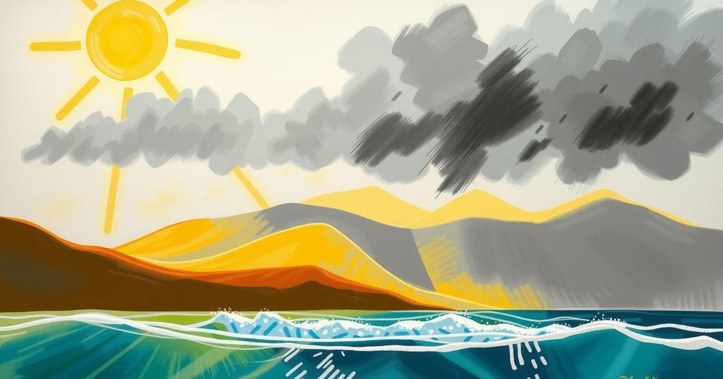
Daylight Saving Time begins this Sunday, with varied weather ahead. A low-pressure system will bring mild rains from Monday to Tuesday, followed by a stronger system on Wednesday. A total lunar eclipse will occur this week, with beach and surf conditions affected. Expect dry weather next weekend.
Daylight Saving Time (PDT) 2025 begins this Sunday, with clocks moving forward one hour at 2 a.m. This shift will result in more daylight in the evenings but less sleep in the mornings. Expect a diverse week of weather, starting with dry conditions over the weekend thanks to high pressure over the Great Basin and California.
Starting Monday, a low-pressure system approximately 300 miles offshore will move toward Southern California, bringing moderate winds (19-31 mph) and light rain showers. Although the system will not deliver significant rainfall locally, rainfall is projected under 0.10 inches, with inland valley morning temperatures between the mid 30s to low 40s and daytime highs in the mid-60s.
A stronger storm system is expected to impact the Central Coast beginning Wednesday, bringing moderate gale-force (32-46 mph) winds and heavy rainfall Thursday night. Following the cold front, expect lighter but still notable southwesterly winds (19-31 mph) and convective showers, tapering off by Friday afternoon. Rainfall for Wednesday through Friday morning is estimated between 1 and 2 inches, particularly affecting coastal mountain areas.
Additionally, a total lunar eclipse, referred to as a Blood Moon, will occur late Thursday night into early Friday morning. The eclipse will start at 8:57 p.m. PDT, with totality occurring between 11:26 p.m. and 12:31 a.m., casting a red hue as the Earth’s atmosphere refracts light.
Looking ahead, expect dry and warmer weather next weekend due to a developing high-pressure ridge. Next week remains primarily dry, with only a slight chance of rain on the following Monday. For surfers, a series of northwesterly swells is forecasted, with significant impacts from gale-force southerly winds creating notable sea conditions. Additionally, the surface seawater temperature will remain between 52 and 53 degrees through next Sunday.
Notable weather historical events include a record 367 inches of snow in Washington in 1956, severe thunderstorms across West Texas in 1990, and light rainfall in San Luis Obispo County in 2018. Daily temperature forecasts for key areas show a range of mild conditions with expected variations through the week.
This week’s weather report highlights the transition into Daylight Saving Time, signaling longer evenings amidst a complex weather pattern. Prepare for shifting conditions, including possible rainfall and a notable lunar eclipse. Also, anticipate a warming trend and drier weather next week after the storm passes. Vigilance during the stormy period is advised, particularly for coastal activities due to swing in sea conditions.
Original Source: santamariatimes.com


